Bathymetric Survey Report, Doga, KSA

The "Bathymetric Survey Report, Doga, KSA" project, commissioned by Environmental Horizons, required an in-depth analysis of the underwater topography of Doga's coastal areas. This case study details the bathymetric survey conducted by NUSAIL Engineering Consultancy UK (NEC) to gather this critical data.
Objective: The primary objective was to create a detailed underwater topography map of Doga, which is crucial for future development planning, environmental protection, and infrastructure projects in the region.
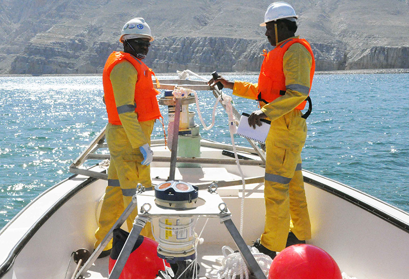
Methodology: The survey was executed using an M3 Sonar Depth Echosounder, which provides high-resolution bathymetric data essential for accurate seabed mapping.
- Survey Area Definition: The specific area for the bathymetric survey was carefully selected to ensure the relevance and precision of the data collected.
- Satellite Image Processing: High-resolution satellite images were processed using Agisoft Metashape, resulting in the creation and export of a Digital Elevation Model (DEM).
- Hydrographic Survey Execution: The survey team deployed to Doga, where they performed a thorough inspection of the equipment before use, ensuring optimal functionality.
- Data Acquisition and Processing: The collected data were processed using Hypack & Hysweep software, with meticulous corrections applied for tide and sound speed.
Challenges and Solutions:
- Data Accuracy: To ensure data quality and accuracy, careful alignment of satellite images and calibration of instruments were conducted, with additional post-processing adjustments made.
- Weather Conditions: Challenging weather conditions were mitigated by selecting optimal survey periods and applying weather correction algorithms.
Outcomes: The survey provided a comprehensive map of Doga's seabed, essential for future marine infrastructure development, environmental conservation efforts, and hazard mitigation planning. The data also contributes to scientific research and provides a baseline for ongoing monitoring.
Conclusion: NUSAIL Engineering Consultancy UK (NEC) successfully overcame challenges to deliver precise and actionable data, supporting the sustainable development of Doga. The partnership with Environmental Horizons is a testament to NEC's expertise and commitment to excellence.
Client: Environmental Horizons
Project Title: Bathymetric Survey Report, Doga, KSA
Location: Doga, KSA

