High-Accuracy Drone Photogrammetry Data Processing
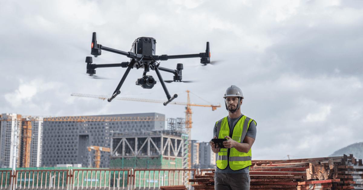
Drone Photogrammetry Data Processing converts aerial images captured by drones into accurate geospatial outputs such as orthomosaic maps, 3D models, point clouds, and digital elevation models (DEM/DTM). This technology is widely used in surveying, construction, mining, and infrastructure development for precise mapping and analysis.
At HydroMarine Geophysics, we specialize in processing high-resolution drone imagery using advanced photogrammetry software and industry-standard workflows. Our team ensures proper alignment, georeferencing, and data optimization to deliver reliable and accurate outputs for engineering, GIS, and planning applications.
Our Photogrammetry Processing Capabilities
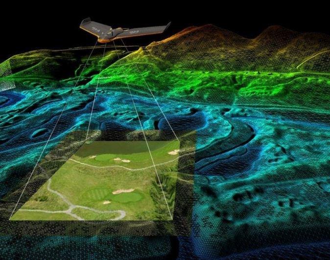
We provide orthomosaic mapping, 3D model generation, point cloud processing, and terrain modeling with high accuracy. Our solutions are designed to support better decision-making, improve project efficiency, and reduce operational risks.
Start Your Drone Mapping Project Today
High-Precision Data Processing for Accurate Results
We provide reliable drone photogrammetry data processing services tailored to your project requirements. From raw aerial images to final deliverables, our team ensures accuracy, quality, and fast turnaround.
Whether you need orthomosaic maps, 3D models, or point cloud data, HydroMarine Geophysics delivers professional solutions that support better planning, design, and decision-making.
Contact Us
HydroMarine Geophysics
We provide professional geophysical data processing and interpretation services worldwide. Contact us today to discuss your project requirements.
Address:
1 Albert Embankment,
LONDON,SE1 7XQ, UK
Phone:
+44 02045478801 / 07440309646
Email:
info@hydromarinegeophysics.com
contact@hydromarine.com
Our Project Outputs
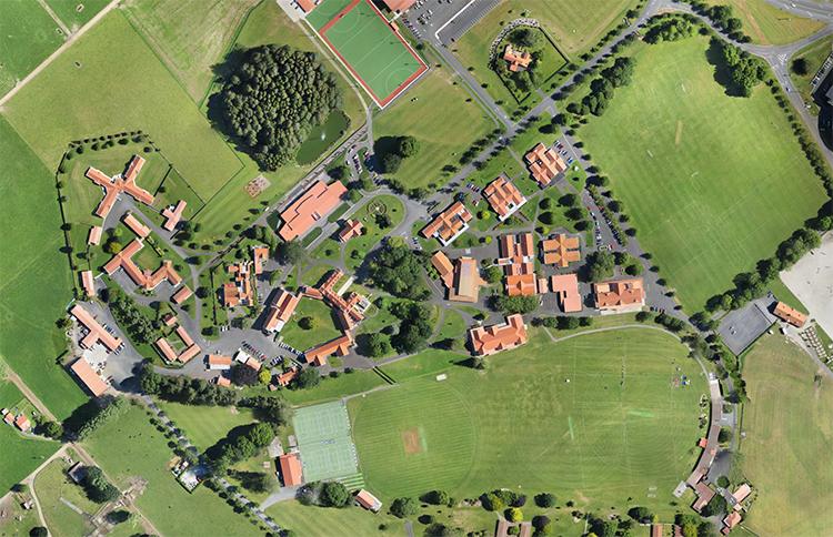
Orthomosaic Mapping
High Resolution Output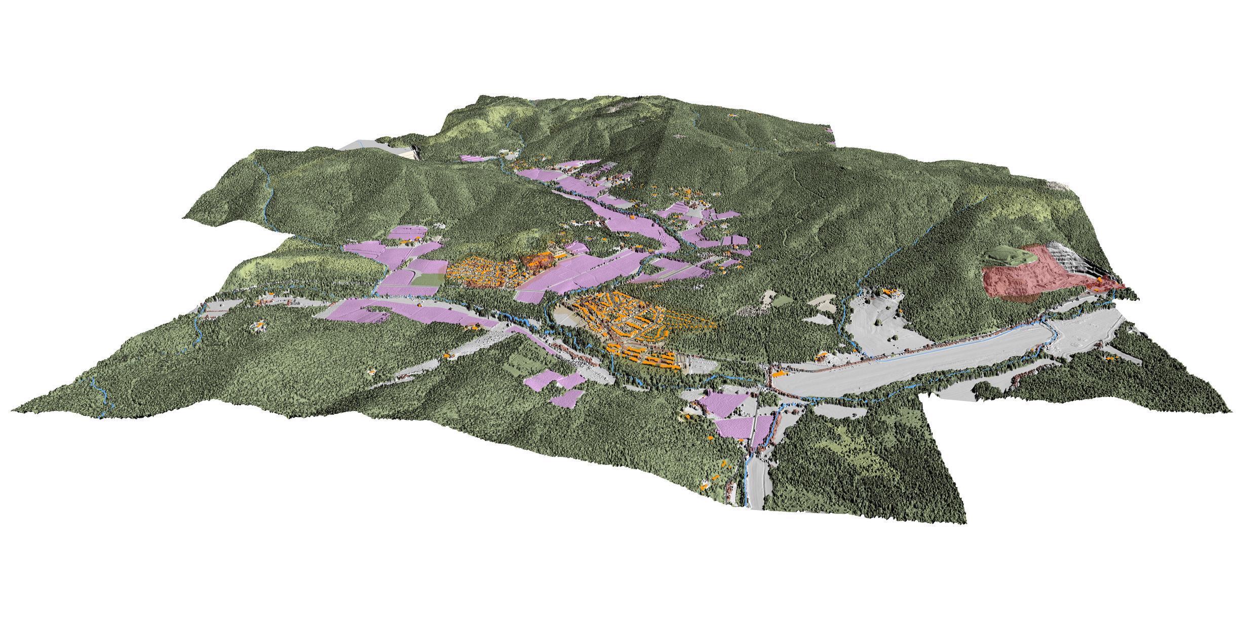
3D Model Generation
Accurate Surface Models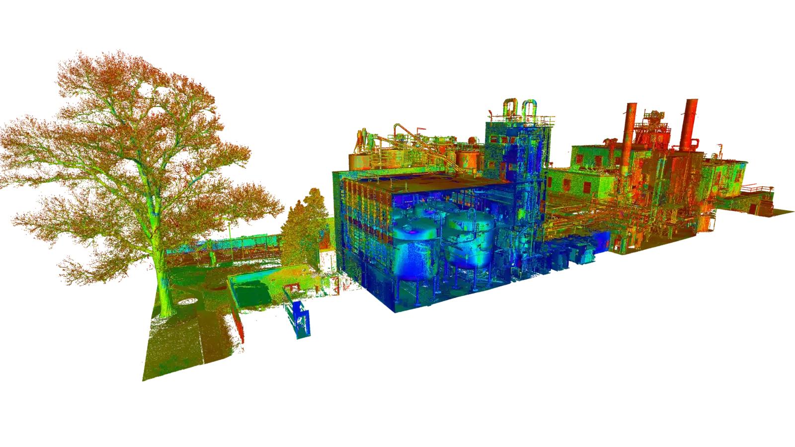
Point Cloud Data
Detailed Spatial Data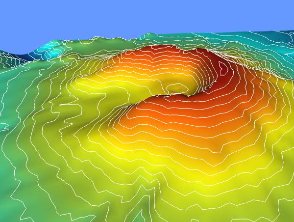
Digital Elevation Models
Terrain Analysis