
Professional GIS Mapping & Spatial Data Processing Services
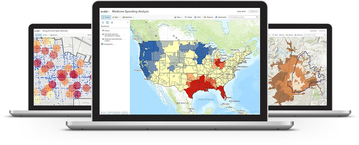
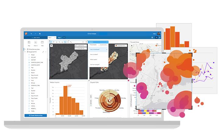
GIS Mapping & Spatial Data Processing involves the collection, analysis, and visualization of geographic data to support informed decision-making. Using advanced Geographic Information Systems (GIS), spatial datasets are transformed into meaningful insights for planning, engineering, and environmental management.
At HydroMarine Geophysics, we provide high-quality GIS mapping services and spatial data processing solutions tailored to project requirements. Our team ensures accurate data integration, georeferencing, and spatial analysis using industry-standard GIS software and workflows.
Our GIS Mapping & Spatial Data Capabilities
We specialize in geospatial data analysis, GIS mapping, data conversion, spatial modeling, and map visualization. Our services include shapefile creation, geodatabase management, satellite data processing, and integration with CAD and survey datasets to deliver reliable and actionable outputs.
Start Your GIS Mapping Project Today
Advanced Geospatial Analysis & Mapping Solutions
We deliver reliable GIS mapping and spatial data processing services designed to meet your project needs. From raw spatial data to final map outputs, our workflow ensures accuracy, efficiency, and scalability.
Whether you need thematic maps, geospatial analysis, or data integration, HydroMarine Geophysics provides professional GIS solutions that support planning, asset management, and infrastructure development.
Contact Us
HydroMarine Geophysics
We provide professional geophysical data processing and interpretation services worldwide. Contact us today to discuss your project requirements.
Address:
1 Albert Embankment,
LONDON, SE1 7XQ, UK
Phone:
+44 02045478801 / 07440309646
Email:
info@hydromarinegeophysics.com
contact@hydromarine.com
Our Project Outputs

GIS Mapping
Accurate Digital Maps
Spatial Data Analysis
Geospatial Insights
Data Conversion & Integration
Multi-Format GIS Data
Geospatial Visualization
Interactive Mapping